Greta Neumann · 6 September 2026
Navigating Coastal Community Knowledge Networks Through Evolving Digital Preservation Methods
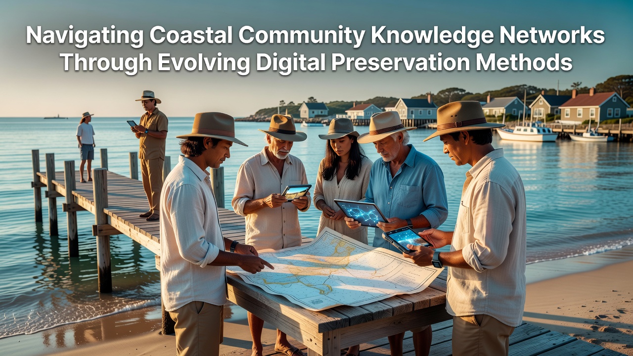
Coastal communities maintain extensive knowledge networks that pass along details about tides, marine life cycles, storm patterns, and traditional resource management, while these systems now intersect with digital preservation tools designed to capture and secure such information for future generations. Researchers at institutions focused on environmental studies have documented how these networks operate through family stories, fishing logs, and seasonal calendars that adapt to changing conditions over decades.
Core Elements of Coastal Knowledge Systems
Local groups in regions from the Pacific Northwest to the Gulf of Mexico rely on interconnected sources of information that include indigenous oral traditions alongside scientific monitoring data, and these networks support decisions on fishing quotas, erosion control, and habitat restoration. Data from government agencies show that communities using combined traditional and recorded methods experience better outcomes during events like hurricanes because they integrate historical flood markers with modern satellite imagery. Observers note that knowledge transfer happens in settings such as community meetings and dockside conversations, yet gaps emerge when younger residents move away or when physical records degrade due to humidity and salt exposure.
Advances in Digital Tools for Preservation
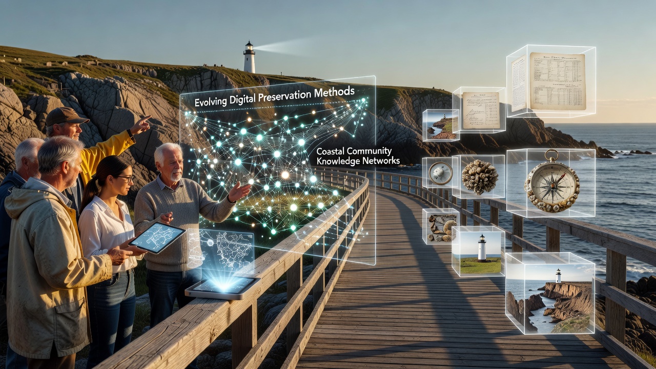
Digital preservation methods have progressed from basic scanning of paper documents to cloud-based platforms that tag metadata for easy retrieval, and these systems allow coastal groups to store audio interviews, GIS maps of changing shorelines, and databases of plant uses in formats resistant to single-point failures. Institutions report that open-source software now supports collaborative editing where multiple users verify entries against field observations, while encryption protocols protect sensitive cultural details from unauthorized access. A project involving Australian coastal researchers demonstrated how blockchain ledgers track versions of shared ecological records, ensuring that updates from September 2026 onward will maintain chain-of-custody for community-contributed datasets.
Implementation Challenges and Responses
Bandwidth limitations in remote coastal areas slow the upload of large video files containing elder testimonies, and power outages during storms can interrupt access to centralized servers, yet groups address these issues through offline-first applications that sync when connections return. Studies indicate that training programs run by regional universities help residents learn metadata standards so entries remain searchable across decades, while partnerships with technology firms provide low-cost hardware suited to high-salinity environments. One initiative in northern Canada integrated sensor data from buoys directly into community archives, creating real-time alerts that link to historical patterns preserved digitally.
Case Examples from Varied Regions
Teams in the Netherlands have digitized centuries-old dike maintenance logs alongside current sea-level projections, allowing planners to cross-reference past flood responses with predictive models, and similar efforts in New Zealand combine Maori navigation knowledge with LiDAR surveys of coastal changes. Reports from the National Oceanic and Atmospheric Administration detail how U.S. Gulf Coast networks now incorporate drone footage of wetland loss into searchable repositories that residents update seasonally. In parallel, European Union-funded projects test AI-assisted transcription of dialect-heavy recordings so that nuances in fishing terminology survive translation into standard databases.
What's interesting is how these efforts scale when communities share protocols through regional forums, and figures reveal that participation rates increase when interfaces support local languages rather than requiring English-only inputs. Yet funding cycles often limit long-term maintenance, prompting groups to seek grants tied to climate adaptation goals that explicitly cover digital infrastructure upgrades.
Looking Ahead to Integrated Approaches
Future developments point toward hybrid models where machine learning flags inconsistencies in uploaded data while human reviewers from the community retain final approval, and this balance helps preserve accuracy without overwhelming small teams. Research from CSIRO on Australian coastal zones highlights successful pilots that link digital archives to mobile apps used by fishers for logging real-time sightings, thereby enriching the preserved record with ongoing contributions. Such systems also incorporate redundancy across multiple geographic servers to guard against localized disasters common in coastal zones.
Conclusion
Coastal communities continue to adapt their knowledge networks through digital preservation methods that address both technical and cultural requirements, and ongoing projects demonstrate measurable gains in information retention when methods align with local practices. Data from multiple agencies confirm that sustained investment in training and infrastructure supports these transitions, while new launches planned for September 2026 aim to expand cross-regional sharing of verified datasets. These developments position communities to maintain continuity even as physical environments shift.